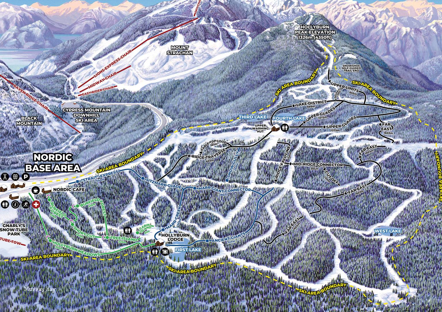
Trail Maps & Stats
The Mountain
61
Runs on 2 Mountains
6
Chair Lifts
600
Skiable Acres
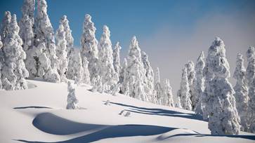
622 cm
Annual Snowfall
Ski & Snowboard Terrain

EASIER

MORE DIFFICULT
Most Difficult Run
Top Gun
Length: 1 km (0.6 miles)
Elevation Difference: 300 m (984 feet)
Longest Run
T33 into Collins
Length: 4.1 km (2.5 miles)
Elevation Difference: 610 m (2001 feet)

MOST DIFFICULT

EXPERT
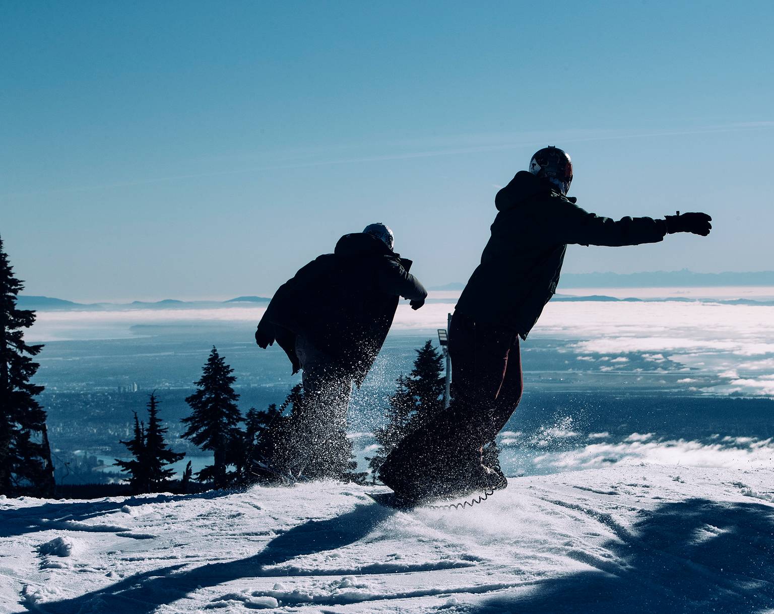
610 m (2010 ft) Vertical Ride
MT STRACHAN
1440 m (4720 ft)
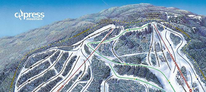
BLACK MOUNTAIN
1200 m (3940 ft)
CYPRESS CREEK LODGE
915 m (3000 ft)
Lift System
- Lift Capacity: 9,540Skiers per hour
- Lifts: 62 High Speed
- Magic Carpet: 1
Downhill
Night Skiing
Daily 5-10pm
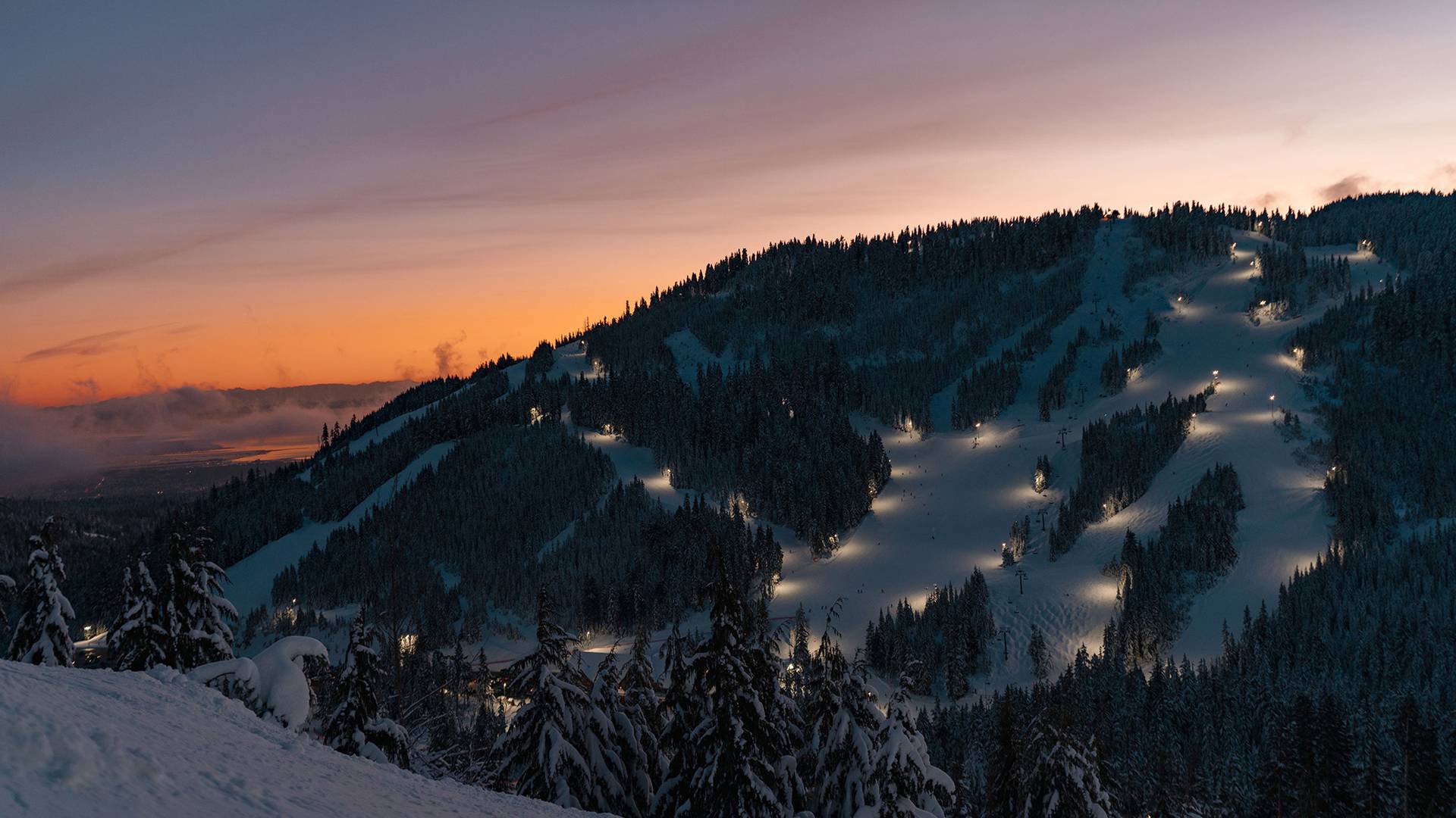
Black Mountain
- Panorama
- Windjammer
- Fork
- PGS
- Cascade
- Lower Trumpeter
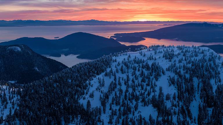
Mt. Strachan
- Collins
- Runway
- Rip Cord
- T-33
- Humpty Dumpty
- Horizon
- Horizon Bypass
- Rainbow
- Cat Track
- Hutch
- Shuttle
- Blaster
- Hut Run
- Lower Bowen
- Webb Site
