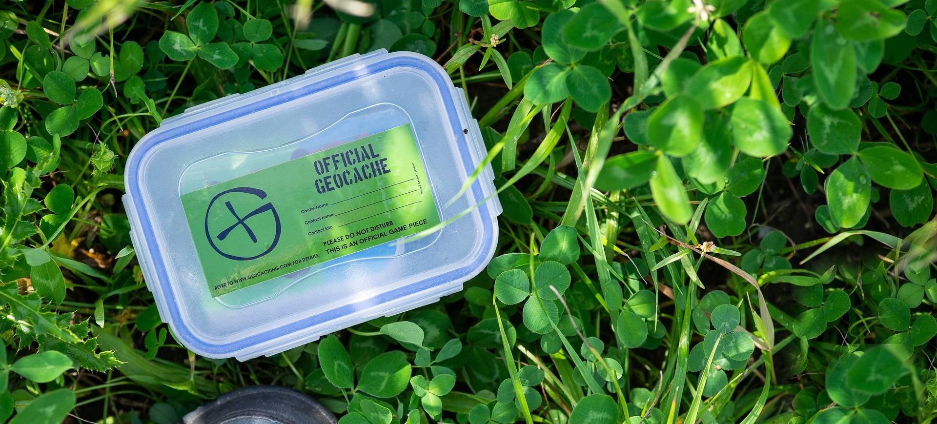
Geocaching
- Create an accountCreate an account online or through the Geocaching app to view a map of geocaches near you.
- Find a geocacheUse the app to navigate to a geocache nearby. Don't forget to bring a pen!
- Share your experienceOnce you find the geocache, sign and date the logbook. Place the geocache back where you found it and log your experience online.
Start hunting
Cypress Mountain Geocache Locations
Stop and Go Locations:
- Hollyburn Chairlift 1951 - GPS: N 49° 21.225 W 123° 10.656
- On top of the world! - GPS: N 49° 21.489 W 123° 12.704
- VTMP 001: Birth of the Cool - GPS: N 49° 21.503 W 123° 12.540
- Pete and the Giant - GPS: N 49° 22.898 W 123° 11.498
- Sliders - GPS: N 49° 22.585 W 123° 11.515
- Flying Aerials - GPS: N 49° 23.543 W 123° 12.090
- BC Parks 100 - Cypress GPS: N 49° 23.717 W 123° 12.198
- Welcome to Cypress - GPS: N 49° 21.293 W 123° 11.360
Sky Climb Hiking Trail on Mount Strachan:
- The Sky Climb - GPS: N 49° 23.840 W 123° 12.006
- Plane Crash Memorial - GPS: N49° 24.340 W 123° 11.707
- Skiing Cypress Since 1927 - GPS: N 49° 23.935 W 123° 11.525
- Rupert's Roots - GPS N 49° 24.087 W 123° 11.373
- Chairlift - GPS: 49° 24.241 W 123° 11.678
- Peak-A-Bowen - GPS: N 49° 24.448 W 123° 11.951
- Here Kitty Kitty - GPS: N 49° 24.530 W 123° 11.826
- Howe Sound High - GPS: N 49° 24.610 W 123° 11.898
- Grad 86s Rock Floats - GPS: N 49° 24.612 W 123° 11.731
- Mountain Strachan (Serengeti) - GPS: N 49° 24.684 W 123° 11.652
- Mount Strachan North Peak - GPS: N 49° 24.789° W 123° 11.619
Black Mountain Hiking Caches:
- Black Mountain North Summit - GPS: N49° 23.654 W 123° 13.132
- Sharon's Corner (Panorama) - GPS: N 49° 23.346 W 123° 12.396
- Neptune's Trident - GPS: N 49° 23.454 W 123° 12.915
- Black Mountain - GPS: N 49° 23.443 W 123° 13.128
- BlueSky - Cypress Park - GPS: N 49° 23.336 W 123° 13.283
- Yew Lake Ladybug - GPS: N 49° 24.033 W 123° 12.617
- A Crappy View Too - GPS: N 49° 23.944 W 123° 12.588


